Geography Reference
In-Depth Information
y-axis
Number of columns
Row
Number
of rows
Cell size
(Xmin,Ymin)
Column
(0,0)
Center of lower left cell
x-axis
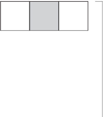
FIGURE 8-1 Schematic of a GRID or raster
A raster should encompass a study site. The raster representing the study area is called a Cartesian
matrix, usually with rows parallel to the x-axis of a coordinate system. Columns are parallel to the y-axis.
A geographic raster is (usually) a rectangular matrix of (usually) square cells. Each cell is a member of a row
and a member of a column. Almost always all the cells of a given raster are the same size. See Figure 8-1.
Raster cells may be almost any size. Choosing the cell size that is best for both representing the features of
the Earth and for analysis is a science and an art. It is not unusual to have raster composed of hundreds
of millions of small cells. If you choose a cell size that is half of what you were previously considering,
the new raster will have four times as many cells. This may or may not mean four times the storage
requirement (depending on the compression technique used) and four times the processing time.
Coordinate Space
A raster's coordinate system may be in real-world coordinates or “image space.” For those in
geographic space, cells are referenced primarily by an (x,y) location in map coordinate space,
not by row and column numbers, as previous versions of grid processing were. The location
referenced for a given cell is the center of that cell. For the overall raster, the geographic
reference is usually the center of the lower-left (southwest) cell. Cells are square in map
coordinates.


Search WWH ::

Custom Search