Geography Reference
In-Depth Information
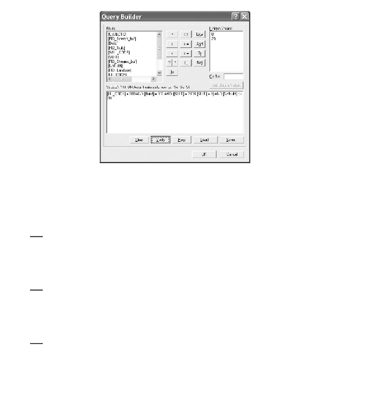
FIGURE 7-23 Wildcat query builder
obviously will not be candidates. But in the center note the two polygons that share a common
boundary. Neither by itself is large enough to meet the size criterion, but together they do. Use
Identify to understand why they are separated, and explain. (Hint: Look at Soil_Code.)
____________________________________________________.
8.
You need to dissolve the boundary between those adjacent areas and make them a single
polygon. When faced with a geographic problem like this, you can be pretty sure that, among
the hundreds of tools supplied by ArcGIS, there will be one to solve it. Use the ArcToolbox Index
to find a Dissolve tool that works on geodatabases. Locate it. What is the path?
_______________________________________________________
9.
Start the Dissolve (management (not arc)) tool. Explore the Help files of the tool to understand
what it does.
In this case, since all the polygons of Sites_A meet our criteria for the Wildcat Boat facility, you can just
use dissolve without specifying any fields, to make Sites_C. (I will explain the role of Fields in a later
exercise.)
10.
Using the Dissolve (management) tool, make the input features Sites_A and the output Sites_C.
To have the tool produce singlepart features, uncheck the box in front of Create multipart
features. Compare the Geography of Sites_A with that of Sites_C. Note that the lines that
separated some of the polygons are gone. How many polygons are there in Sites_C? ________
At this point each of your polygons should have satisfied all criteria except that the area must be greater
than 4000.


Search WWH ::

Custom Search