Geography Reference
In-Depth Information
If the person deciding on the spacing between the grid lines has done a good job, and the overall area
being depicted is cooperative, the user will frequently be able to know, for each cell, what feature or
condition most occupies the cell, thus answering the “what” question. Actually, several issues, to be
addressed later, come into play in determining the “what,” when, as will frequently be the case, more
than one feature, or condition of the particular theme, appears in the area covered by a cell.
The determination of “where” in the raster case is, on the surface, quite simple. As I indicated before, if
(1) the horizontal grid lines run east-west, (2) the location of a specific cell is known (e.g., the upper left
(northwest-most) cell is known or the lower left (southwest-most)), and (3) the cell size is known, then the
geographic location of any given cell is a simple calculation based on the row and column number of the cell.
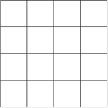
Although a raster of squares (or “almost squares,” if the dimensions of a cell are couched in
latitude-longitude terms) is a set of discrete areas, the fact that they are regular in nature, and that each
one has the same configuration of four nearest neighbors and four next-nearest neighbors, makes it a
fairly good model for representing continuous surfaces, where each cell probably contains a different
value indicating, perhaps, elevation. (see Figure 4-4).
3
A sequence of rasters is also an excellent way to represent, analyze, and predict phenomena that change
quickly over time, such as the spread of an oil spill or a forest fire.
The raster approach can also represent discrete areas, albeit “lumpily” with straight vertical and
horizontal lines separating nonhomogeneous areas (see Figure 4-5). Here three different areas, designated
A, B, and C, are represented, indicating, say, three different soil types.
52.3
53.4
54.5
55.6
A
51.1
50.0
50.0
53.3
B
50.1
50.1
51.1
52.7
49.7
49.9
50.0
51.1
C
Cell
size
Cell
size
FIGURE 4-4 A basic raster that
allows storage of continuous data
FIGURE 4-5 Raster representation
of areas
3
A raster does not represent a continuous surface as well as a TIN. A surface represented by a raster (such as a DEM)
has discontinuous breaks; in a TIN, the surface representation is continuous but not differentiable in places. If you
don't know or care what differentiable means, ignore it.


Search WWH ::

Custom Search