Geography Reference
In-Depth Information
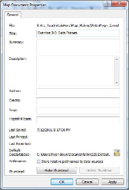
FIGURE 3-8
Exercise 3-4 (Mini Project)
Looking at the Plethora of Mapmaking Tools and Options
The ability of GIS systems to make maps has evolved over a period of some four decades. It has become
quite sophisticated. With that sophistication has come complexity. I wish I could tell you that there is
some underlying grand theory of automated mapmaking, but there isn't. The tools you are about to look at
are a monument to ad-hockery.
In this exercise, you get a look at only the links to the vast array of options that the serious GIS mapmaker
has in ArcMap. What follows will seem something like busy work, but it will serve as a reference for you
later, should you become more interested in making maps.
1.
With PntLnPlygn_2.mxd in ArcMap Layout View, click the ALL data frame to select it and make it
active. Now right-click the data frame. A menu of many possibilities appears, all of which apply
to this particular data frame. List them in your Fast Facts File, starting with Add Data, thinking
briefly about each and what it might do.
Done? Yes ________ No ________.


Search WWH ::

Custom Search