Geography Reference
In-Depth Information
3.
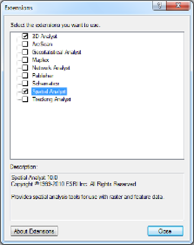
Dismiss the 3D Analyst, Spatial Analyst, Editor, Draw, and Layout toolbars. Double-click the title
bars of the remaining toolbars (Standard and Tools) to restore them to their original positions.
If the result doesn't look like Figure 2-6, drag the toolbars around by their handles until it does.
Click on the T/C title bar and start to drag the window back to its original location. Notice that
multiple blue arrows appear, which provide options for dock locations. Experiment with docking
the T/C in various locations (move the cursor over a blue arrow) When through demonstrating
this docking procedure to yourself, pick the arrow that is the furthest to the left to return the
T/C to its original location. Dismiss ArcMap.
Exercise 2-3 (Major Project)
Exploring Different Types of Geographic Data
The Basic Difference between ArcCatalog and ArcMap
The most general statement that can be made about ArcCatalog and ArcMap is this: ArcCatalog deals with
the exploration, examination, and finding of geographic data sets; ArcMap uses those data sets to form
layers that display maps and allows analysis of the underlying spatial data.
Exploring Data from the NAVSTAR Global Positioning System (GPS)
A GPS receiver, using the U.S. Department of Defense NAVSTAR system of about 30 satellites, collects
positional information—in the form of latitude, longitude, altitude, and time fixes—and stores these
coordinates in its memory. Computer files of these points can then be made into Esri data sets.
3
FIGURE 2-9
3
See my textbook: The Global Positioning System and ArcGIS, 3rd Edition, Taylor & Francis - CRC Press, 2009.


Search WWH ::

Custom Search