Geography Reference
In-Depth Information
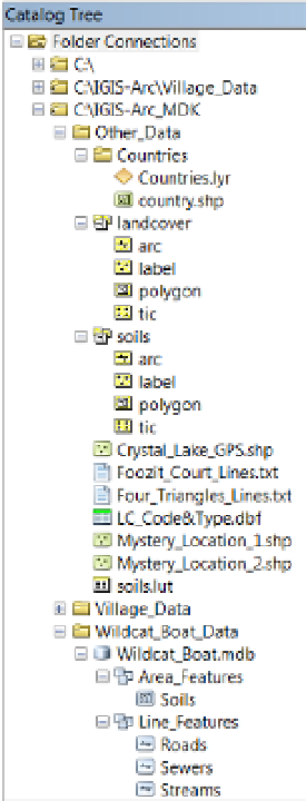
FIGURE 1-30
Come to think of it, now would be a good time to back up your Fast Facts File. Put it on a thumb
drive, a flash drive, a network drive, or e-mail it to yourself. Maybe you should make a couple
of backups, using different methods.
It is rare that a person has too many backups; it is quite
common to not have enough.
Searching for GIS Data
In the 1990s and 2000s, the major issue related to spatial data and GIS was how to create the data sets
you wanted—either directly from the environment or by converting maps. Now the initial emphasis has
turned, in many instances, to finding already-existing data—on the Internet and elsewhere. Tremendous
stores of spatial data exist, and more comes in every day from satellites and ongoing projects. But you
may discover that the data set you want is buried with a lot of other data; it may have an obscure name;
the data sets you find may not meet your standards, even if they cover the correct subject and correct
geographical area. A major feature of ArcCatalog is the capability to help you discover spatial data sets
and, through inspection of their metadata, determine if they meet your needs. Assume that a client or your
supervisor asks you to find all the geographic data that could apply to the Wildcat Boat project. You begin
by setting up ArcGIS to search your personal folder.


Search WWH ::

Custom Search