Information Technology Reference
In-Depth Information
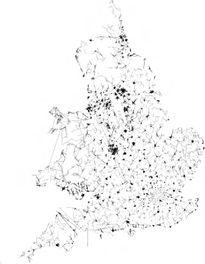
Daily Commuting Flows
Between English and
Welsh Wards in 1981.
The line width of flows involving more
than 1000 people is drawn in proportion
to the magnitude with direction indicated.
Flows of more than 1 in 20
31.7% of all movements shown
on a land area map
of the two area's participating
populations drawn as thin lines.
Figure 6.7 As the criteria are relaxed for deciding whether a particular flow
should be included, more and more lines can be drawn on the map and soon it
begins to appear as if every other town is connected to another town through one
odd flow stream or another. Drawing flows of much greater numbers of people as
thick arrows, not thin lines, adds a little structure to the map.
Search WWH ::

Custom Search