Information Technology Reference
In-Depth Information
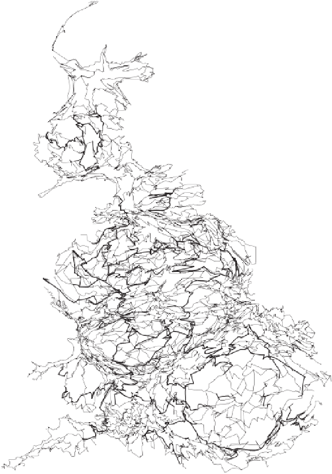
British Primary
Road Network
Equal Population Projection
Figure 3.20 The motorways are the thicker lines drawn on this equal population
cartogram. Roads are most concentrated, per capita, in more rural areas. The
cartogram is based on night-time population, so if it were redrawn using daytime
figures all the cities would be very much larger. London, in particular, would
appear to be very much more poorly served with roads. It has the least space.
Search WWH ::

Custom Search