Information Technology Reference
In-Depth Information
Local
Authority
Districts
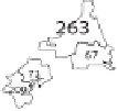
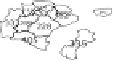
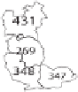
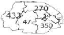
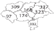
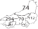
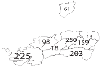
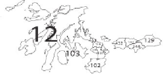
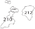
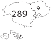
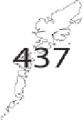
Figure 3.5 The 459 districts are labelled for identification against an alphabet-
ical index. The numbers are automatically scaled to the size of the land area,
so that at least some can be read, rather than all being too small to see, and to
illustrate the variation in size between the districts. This scaling highlights how
it is the least densely populated districts that are most prominent.


Search WWH ::

Custom Search