Information Technology Reference
In-Depth Information
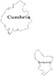
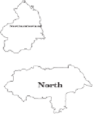
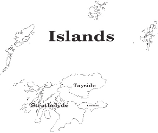
Counties
(including bridges which
maintain ward contiguity)
Figure 3.2 The bridges and tunnels shown here were from a list compiled by
hand, based on 1984 road atlases; those and the 64 counties are shown on
an equal land area map. Most major rivers and estuaries are spanned. These
links are as important as shared boundaries to the geographical contiguity of the
country. They are included in the matrices used to create most of the cartograms
shown here.


Search WWH ::

Custom Search