Database Reference
In-Depth Information
3.
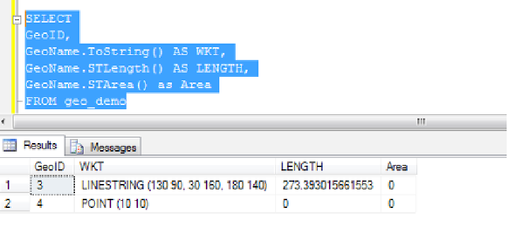
The GEOMETRY type supports the implicit conversion to and from a string. The string
format supported by the GEOMETRY type for implicit conversion is WKT.
This completes the process of designing spatial data storage methods using SQL Server
2008 R2.
How it works...
The SQL Server Management Studio tool has a built-in capability to query spatial data and plot
to display basic maps, which is an integral feature of SQL Server 2008 R2.
Both the SQL CLR data types
GEOMETRY
and
GEOGRAPHY
use latitude and longitude angles to
identify points on the earth. Latitude measures how far north (or south) of the equator a point
is, while longitude measures how far a prime meridian point is. The feature also supports the
relational data to represent the inventory or stock, area-wise in a map format.
Both data types are implemented as a Common Language Runtime (CLR) data type that is
used to represent data in a flat co-ordinate system.
Deploying and managing data-tier
applications
Data-tier application (DACPAC) enables developers to develop, deploy, and manage their
applications using traditional development methodologies. SQL Server 2008 R2 added
several new features and enhancements with a new unit of deployment to make the
deployment and upgrade processes of data-tier applications from Visual Studio 2010 and
SSMS tool easier. The management aspect of DACPAC trend analysis is handled by the
SSMS tool using SQL Server Utility Control Point (UCP), which enrolls them to monitor the
performance and configuration of instance and application level.


Search WWH ::

Custom Search