Geoscience Reference
In-Depth Information
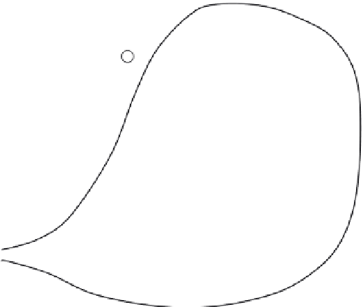
Fig. 3.13 Sketch illustrating the
application of the
isohyetal method to
estimate the average
precipitation over a
catchment. The
subareas
A
i
are bounded
by the isohyets and by
the boundaries of the
catchment. The locations
of the stations are
indicated by the
numbered circles.
A
1
3
4
A
2
A
3
2
1
A
4
Still another graphical procedure is known as the
isohyetal
method (see Reed and
Kincer, 1917), which consists of drawing isohyets or contour lines of equal precipitation
(Figure 3.13), by interpolation between the measured values at the rain gage stations. The
method can be applied with Equation (3.1), in which the
A
i
values are the areas bounded
by the isohyets and by the boundaries of the catchment, and the
P
i
values are the average
precipitation of the two isohyets bounding the corresponding
A
i
. Some of the difficulties
in the derivation of areal averages in mountainous terrain have been addressed by Peck
and Brown (1962).
Many more methods have been proposed in the literature. Although they can be quite
different in principle, a comparison of 13 of them has shown (Singh and Chowdhury,
1986) that over longer, say monthly or annual, periods they all produce comparable
results; the shorter the time period, the more they can be expected to produce different
results.
Objective analysis
The simple averaging methods just described are fairly arbitrary in their design and not
based on well-defined criteria. However advances, in what is variously called
objective
analysis
(see Gandin, 1963; Kagan, 1997) and
geostatistics
(Journel and Huijbregts, 1978;
Delhomme, 1978; Kitanidis, 1997), have led to a more objective interpolation technique,
namely the
best linear unbiased estimator
, also known as
kriging
. This is a weighting
procedure, in which the weights are determined on the basis of the spatial structure of
the rainfall fluctuations, and on the basis of the dual criteria that the estimation error, i.e.
difference between the estimated value and the true but unknown value, at any point be zero
on average, and that the corresponding mean square error be minimal. For details on the
application of this method the reader is referred to the specialized literature.
Complex and mountainous terrain poses some additional challenges in the estimation
of the precipitation distribution and its mapping. Attempts have been made to incorporate