Database Reference
In-Depth Information
4. The
ST_Buffer
functionusestheunitsofthedataprojectionforbufferring.
So,ifyourdatastillhastheoriginalspatialreference,
EPSG: 4269
,youwill
bebufferingthelinesby75degrees,andthiswillleadtoverystrangeresults
indeed! Modify the following SQL query to transform your geometry:
SELECT AddGeometryColumn('Chp11',
'lines','geom_sp',3734,
'MULTILINESTRING', 2);
UPDATE "Chp11".lines SET geom_sp =
ST_Transform(geom,3734);
5. You'llthenwanttogobacktostep3inordertocreatethebuffermeasured
in feet.
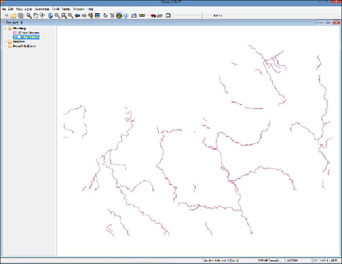
6. Next,panandzoomonthemapandfindtwoseparatepolygonsthatarenear
each other.
7. Select the
Fence
icon on the main menu: