Database Reference
In-Depth Information
...frp (String) = 16.5
POINT (-46.197 -23.386)
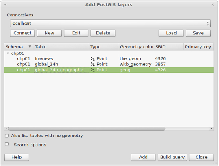
7. NowopenQGISandtrytoaddthenewlayertothemap.Navigateto
Layer
|
Add PostGIS layers
andprovidetheconnectioninformation,andthenadd
the layer to the map as shown in the following screenshot:
How it works...
The PostGIS command,
shp2pgsql
, allows the user to import a shapefile in the
PostGISdatabase.Basically,itgeneratesaPostgreSQLdumpfilethatcanbeused
to load data by running it from within PostgreSQL.
The SQL file will be generally composed of the following sections: