Database Reference
In-Depth Information
altitude_a) - 838)::numeric) AS the_geom
FROM chp07.uas_locations;
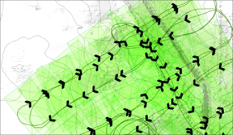
Withaterrainmodel,wecangoastepdeeperinthisanalysis.SinceourUASfoot-
prints are volumetric, we will first load the terrain model. We will load this from a
.backup
file.
pg_restore --host localhost --port 5432
--username "me" --dbname "postgis_cookbook"
--no-password --schema chp07 --verbose
"lidar_tin.backup"
Next, we will create a smaller version of our viewshed table.
DROP TABLE IF EXISTS chp07.viewshed;
CREATE TABLE chp07.viewshed AS
SELECT 1 AS gid, roll, pitch, heading,
fileName, chp07.pbr(the_geom,