Database Reference
In-Depth Information
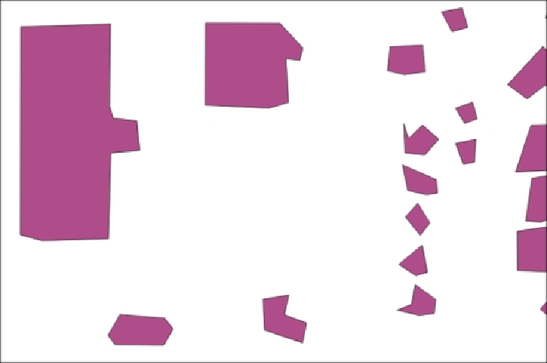
Therearetwothingstonotehere.Thelargerthebuilding,relativetothedensityof
thesampling,thebetteritlooks.Wemightquerytoeliminatesmallerbuildings,which
arelikelytodegeneratewhenusingthisapproach,dependingonthedensityofour
LiDAR data.
Ifwewanttofurtherimproveuponthis,wecanrefineourlinesandmakethemor-
thogonal(squareup)usingthein-progressproject,
pg-orthogonalize
,whichwe
might use in lieu of the simplification step we covered in this section:
How it works...
Toputitinformally,ourbufferingtechniqueeffectivelylumpstogetherorclustersad-
jacentsamples.Thisispossibleonlybecausewehaveregularlysampleddata.But
that is OK. The density and scan patterns for the LiDAR data are typical of such
datasets, so we can expect this approach to be applicable to other datasets.