Database Reference
In-Depth Information
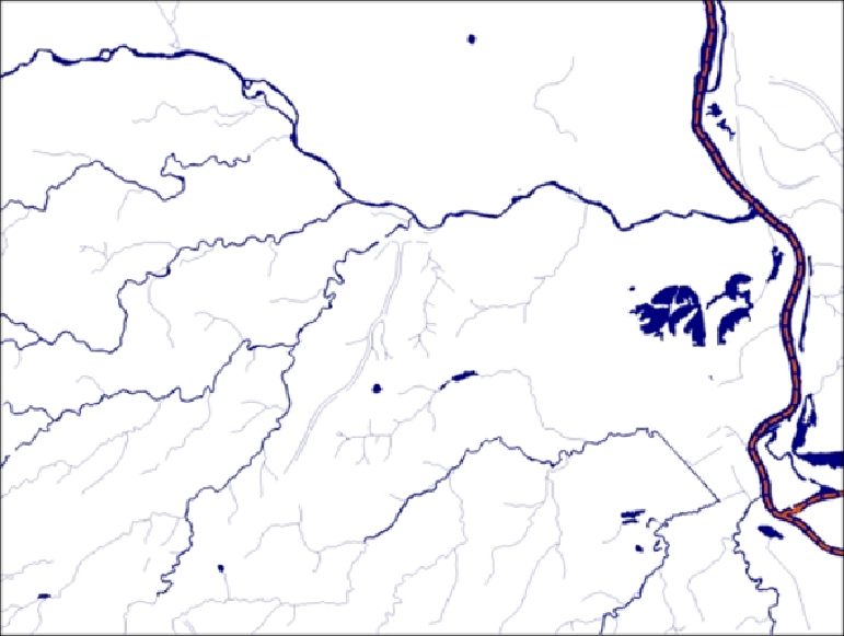
Hence, we have three separate but related datasets:
•
cuyahoga_hydro_polygon
•
cuyahoga_hydro_polyline
•
cuyahoga_river_centerlines
Now,letuslookatthestructureofthetabulardata.The
ogrinfo
utilitycanhelpus
with this as shown in the following command that is run on the command line:
> ogrinfo cuyahoga_hydro_polygon.shp -al -so
INFO: Open of `cuyahoga_hydro_polygon.shp'
using driver `ESRI Shapefile' successful.