Travel Reference
In-Depth Information
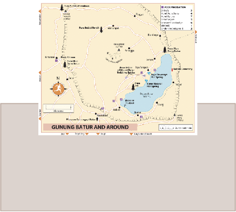
ERUPTIONS AT GUNUNG BATUR
Gunung Batur has
erupted more than twenty times
since 1800. In 1917, a major eruption
killed over a thousand people, but the lava stopped just outside the temple of Batur village,
which was then situated in the crater beside the lake. Considering this a good omen, the
population stayed put until August 3, 1926, when another eruption engulfed the village and
few months after the massive explosion of Gunung Agung, and continued for eight months.
At Yehmampeh, on the road around the base of the mountain, you'll see lava flows from
an eruption in March 1974. The newest crater, Batur IV, was formed during the eruption
that began on August 7, 1994, and continues to erupt periodically. It spewed ash 300m
above the summit in 2000 and hiking trails were closed in 2009 due to more than a hundred
earthquakes
. It's startling to see the volcano still smoking, but locals believe it's better
that Batur lets off a little steam regularly rather than saving it up for a major blow.
Climbing Gunung Batur
There's a choice of
routes up Gunung Batur
. If you have your own transport, the easiest
option is to drive to
Serongga
, off the Yehmampeh road, west of Songan. From the car park,
it's thirty minutes to an hour to the highest peak and largest of the caldera's inner craters,
Batur I
. Steam holes just below its rim confirm this volcano is far from extinct, although the
crater has grassed over.
However, most people ascend up to Batur I from
Toya Bungkah
and
Pura Jati
. The path
from Pura Jati is shadeless and largely across old lava fields. From Toya Bungkah, numerous
paths head up through the scrub - one starts just south of
Arlina's
guesthouse - before emer-
ging onto bare laval slopes to ascend steeply through black volcanic sand to the tiny warung