Database Reference
In-Depth Information
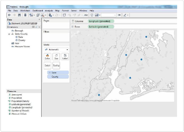
Figure 10-2. Creating a “symbol map” with circles
Recall from
Chapter 2
that Tableau automatically generated these coordinates for us. We
didn't need to find, download, and import the coordinates of New York City counties ourself:
Tableau contains these values natively. Tableau also comes with coordinates for every coun-
try and state or province in the world; cities with population greater than 15,000; and other
geographic fields such as zip code, area code, and metropolitan district for certain parts of
the world. A complete list of the types of geographic fields is shown in
Figure 10-3
.