Geology Reference
In-Depth Information
(
see
Figure 2.4). This thickened crust
consists of rock that has been highly
deformed by the effects of the colli-
sion; in places great thrust sheets have
formed due to the sliding of the upper
plate over the lower. The folding and
shearing processes caused by the col-
lision (described in Chapters 5-7) are
aided by the heating of the rocks by
rising magmas formed by melting of
the lower crustal material as it becomes
depressed into warmer regions at
depth. The effects of heat and pres-
sure at depth produce characteristic
changes in the rocks and in the types
of structure formed, as we shall see.
The best present-day example of
such a collision zone is provided by the
mountain ranges of southern Asia (e.g.
the Himalayan and Pamir ranges) where
the Indian continent has collided with,
and underthrust, Asia. The record of
the gradual convergence of these two
continents has been well documented
from the ocean floor magnetic data, and
there is evidence in the Himalayas of the
igneous products of the subduction of
the intervening oceanic crust. Therefore,
unlike constructive boundaries, which
exhibit relatively narrow zones of earth-
quakes and volcanic activity, such activ-
ity in continental collision zones may
be over a thousand kilometres wide.
The suture surface separating the two
opposing plates descends for long dis-
tances beneath the surface of the upper
plate and may be folded and faulted in
a complex manner. The Himalayas are
described in more detail in Chapter 11.
The link between mountain belts
and plate collision is a valuable tool in
interpreting the geological record, espe-
cially in old continental crust belonging
to periods when no oceanic record has
been preserved - all oceanic plate older
than about 200 Ma has been subducted.
Mountain belts (
orogenic belts
) display
characteristic geological features that
can easily be identified in the rocks
of former periods of Earth history;
these are described in more detail in
Chapter 10. Such features include:
1. highly disturbed strata (folded and
faulted);
2. uplifted metamorphosed deep-crus-
tal material;
3. evidence of enhanced deposition of
material derived from the erosion of
the uplifted masses;
4. igneous bodies consisting of re-
melted crustal material such as
granites, rather than mantle-derived
basaltic material.
Hot spots and plumes
A map of the Earth's volcanically active
regions cannot be simply correlated
with the present plate-boundary
network. Many such regions are located
within the interiors of the plates (e.g.
Hawaii and the Azores) and lie on
former positions of an ocean ridge.
Hawaii is now a long distance from the
nearest ocean ridge, but in the case of
the Azores, the connection with the
mid-Atlantic ridge is more obvious
(Figure 3.12). These regions of exces-
sive volcanic activity are known as
hot
spots
and in some cases appear to have
remained stationary for long periods of
geological time relative to fixed Earth
co-ordinates. Thus, where plate bounda-
ries have migrated away from them, the
plate boundaries
hot spot
constructive
destructive
conservative
Iceland
Hawaii
Azores
Afar
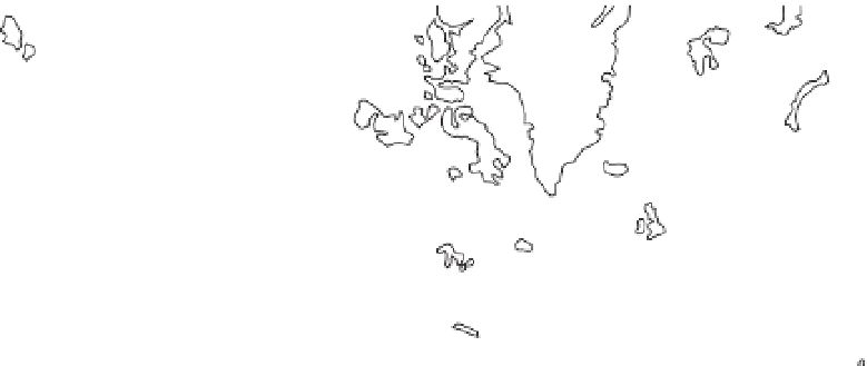
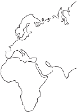
Figure 3.12
Distribution of hot spots. Map showing the locations of the hot spots in relation to the
plate boundary network. Note that while some of the hot spots are located on the ocean ridges (e.g.
Iceland), several are within oceanic plates, (e.g. Hawaii, Azores). Note also the position of the Afar hot
spot on the Red Sea rift.


Search WWH ::

Custom Search