Geology Reference
In-Depth Information
Plate tectonics
3
3
Plate tectonics
The plate tectonic theory, first advanced
in 1967, revolutionised the science
of geology in much the same way
as atomic theory transformed the
science of chemistry at the beginning
of the 20th century, providing a new
framework into which many previ-
ously unrelated or unexplained facts
could be brought together and made
sense of. This new theory was itself an
amalgamation of two previous theo-
ries,
continental drift
and
sea-floor
spreading
, both of which presented a
'mobilistic' view of the Earth's crust,
in which individual continents and
pieces of ocean crust were thought to be
continually moving around the Earth's
surface relative to each other, creating
mountain belts in zones of convergence.
enclosing the
Tethys Ocean
(Figure
3.2). It should be noted here that, as dis-
cussed previously, the term '
continent
'
used in a geological sense includes,
in addition to the landmass, areas of
adjacent sea bed underlain by continen-
tal-type crust - the
continental shelf
and part of the
continental slope
. When
these are included, a much better fit of
the Gondwana continents is achieved.
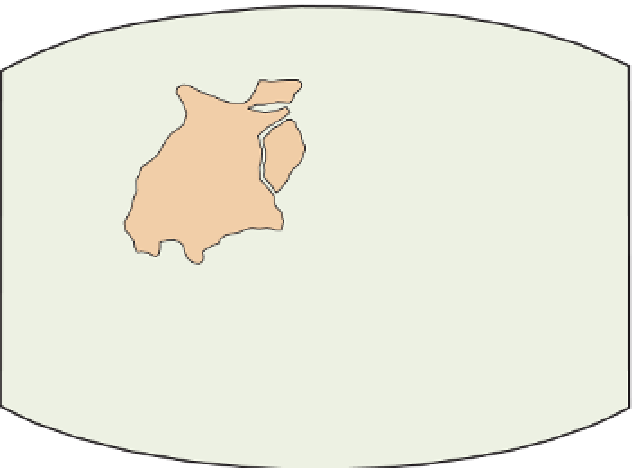
Figure 3.1
Gondwana. This arrangement of the
five southern continents 200 million years ago
is known as Gondwana. Note how well the
coastlines fit together.
Gondwana
Africa
Africa
Antarctica
India
Aust-
ralia
South
America
Antarctica
Australia
Antarctica
world
ocean
Asia
Continental drift
Continental drift is a comparatively old
idea, first popularised by Alfred Wegener
in 1915, which was proposed to explain
geometric and geological similarities
between continents now separated
by oceans. The continents of South
America, Africa, India, Australia and
Antarctica were shown to fit together
in a
supercontinent
called
Gondwana
(Figure 3.1), and North America and
Eurasia to fit together into a second
supercontinent called
Laurasia
. These
two supercontinents appeared to be
joined together along the south-eastern
coast of North America forming a con-
tinuous world-wide landmass termed
Pangaea
(pronounced 'Pan-jee-a')
Europe
North
America
desert
zone
tropical
zone
T
ethy
s
Ocean
desert
zone
Africa
South
America
India
Australia
glaciated
zone
Antarctica
Figure 3.2
Climatic zones of the supercontinent of Pangaea. The climatic zones of 200 million years
ago form bands on either side of the equator of that period, which runs through southern North
America and Europe, and the polar ice sheet covers large parts of all the present southern continents.
Therefore the climatic zones make sense in the Pangaea reconstruction but not when the continents
are in their present positions. The tropical zone is defined by coal deposits and coral reefs, the desert
zone by dune-bedded sandstones and evaporite deposits, and the glaciated zone by tillites and
glacial striations. Based on Hamblin (1989) Figure 17.6, after Wegener (1929).


Search WWH ::

Custom Search