Geography Reference
In-Depth Information
In this schematic, an ellipsoid and a geoid represent the earth's surface. The ellip-
soid is less accurate than the geoid, but both may not properly align with actual locations.
experts who determine geoids and their constants put the geoid model into
relationship with the entire planetary body or extremely detailed informa-
tion about elevations in a particular area. Geodists describe a
geoid
as the
equipotential surface of the earth, which means the known earth's surface
under consideration of different local strengths of gravity resulting from dif-
ferent masses of the earth's geological makeup, f luctuations in the earth's
core, and other factors. For example, the Marianna Trench in the Pacific
Ocean and the large bodies of iron ore found in Sweden or Minnesota both
locally affect the shape of the earth's surface because of the lessened or
increased pull of gravity due to the lesser or greater mass at those locations.
Basically, what geodists consider is how differences in the earth's gravity
affect the shape and size of the earth. For instance, denser material in the
earth's crust, such as iron, inf luences gravity more than lighter sedimentary
rocks do. The geoid takes these (and other) differences into account. These
differences are measured in millionths of the earth's normal gravity, which
seems small, but the effects on the shape of the earth can be large. You also
can think of the geoid as a collection of many gravity vectors, individual
gravity forces, each of which is perpendicular to the pull of gravity.
Practically, the geoid was until recently only used for specialized pur-
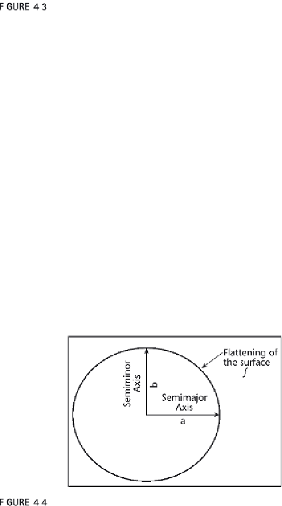
Reference ellipsoid showing major parameters.


Search WWH ::

Custom Search