Geography Reference
In-Depth Information
called? The framework for such maps is suited for people who know the city
and speak some local language and who are looking to find their way around,
not for visiting businesspeople or tourists. In this example, not at all uncom-
mon, you can summarize that the conventions for the local maps support the
general orientation of people who are familiar with the conventions of these
maps and the culture, not the specific conventions and definitely not the pur-
pose of a visitor from another country.
Distinguishing Geographic Information from Maps
Maps remain important, but more and more maps are produced with geo-
graphic information. Some people now even suggest that most maps are sim-
ply interfaces to geographic information databases. Several years ago, sepa-
rating geographic information from maps would have been complicated.
Maps, following the International Cartographic Association, are science and
art. Geographic information was interpreted or symbolized data. It's simpler
now. In this topic “maps” are a form of output of geographic information.
Maps are truly the most common form of output and have been essential to
our understanding of the world for millennia. Maps can be drawn by hand,
and constructed by hand, but nowadays are mostly prepared using geo-
graphic information.
The computerization of cartography changes the possibilities you have
for working with the underlying geographic information. Geographic infor-
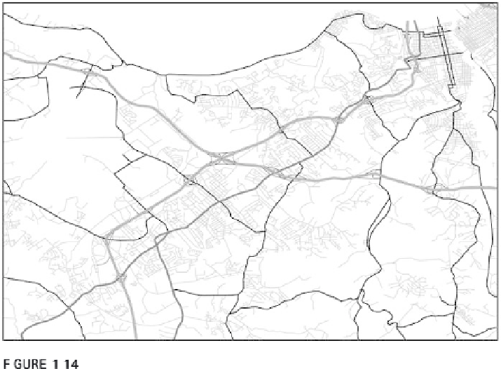
Vector line data using a cartographic representation that distinguishes road types.

Search WWH ::

Custom Search