Geography Reference
In-Depth Information
that a great deal of the troubles using maps can be helped by knowing the
frameworks and conventions of cartography established over the last 500
years by Western civilization (and before then by other civilizations). These
frameworks and conventions are crucial to understanding what maps and
geographic information show us, how we understand them, and how you
make maps and geographic information.
You can think of the cartographic frameworks as a set of normative and
acceptable ways for showing things, events, space, relationships, and associa-
tions. Conventions are the actual ways of representing and communicating
in maps and geographic information. They both vary as greatly as any fash-
ion.
The elements of our cartographic framework and conventions are very
profound and important in ensuring that maps and geographic information
make sense to people. Obvious examples are the almost universal north ori-
entation of maps and the depiction of water with a shade of blue. It's not too
hard to think of other examples. But if you can look at maps from different
countries, you'll start to recognize certain dissimilarities in the map symbols
of each country. Even countries similar in cultural backgrounds can use sym-
bols very differently. States in U.S. highway maps are usually drawn in a pas-
tel color, but European maps of all of Europe choose more vibrant colors.
U.S. maps generally don't show individual mountain ranges, but European
maps generally show mountains with shading.
The frameworks and conventions can also serve particular professions
and ideologies. Maps for specific uses, professions, and disciplines usually
follow a number of conventions for simplifying complex concepts that make
it very hard for untrained persons to make good maps. If you aren't familiar
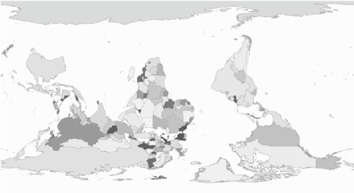
Even simply flipping a map of the world so that Antarctica and Australia are at the
top of the map can prove confusing because of the different cartographic representation.


Search WWH ::

Custom Search