Geography Reference
In-Depth Information
governments identify who has to pay taxes, and what amounts, on their land-
ownership, and also indicates the rights, responsibilities, and obligations of
landowners and users. It is used by banks that provide mortgages, lawyers
who draft contracts for land transactions, and companies that want to deter-
mine how land prices are changing in an area. In these ways, the cadastre is
just one part of the broader socioeconomic uses of land called “land tenure.”
The Food and Agricultural Organization of the United Nations (UN) defines
land tenure
as “the relationship, whether legally or customarily defined,
among people, as individuals or groups, with respect to land” (See the FAO
discussion “What Is Land Tenure?” in this chapter's Web Resources.) In con-
trast to the explicitly formal role of the cadastre, land tenure also includes
individual agreements, such as when two neighbors agree to use parts of
both properties as a shared driveway and place to park their cars, or when an
older person in the family allows younger family members to use the prop-
erty without charging them money or selling the property to them. It also
involves the more complex relationships between people that involve land.
The cadastre records landownership and through its formal significance
accomplishes or certainly helps to accomplish much more, but it is only part
of the relationships people have to the land they live on or use. The cadastre
is a key part of any capitalist economy, but its relevance depends to a great
extent on its tangibility for day-to-day relations.
In the United States, most landownership is recorded using the Public
Land System (PLS) (see Chapter 5 for more specific details). This cadastral
system guarantees a relatively simple system of land title and boundaries, but
errors and complex situations do often arise. Many states in the United
States require title insurance on all land transactions to cover the risk that
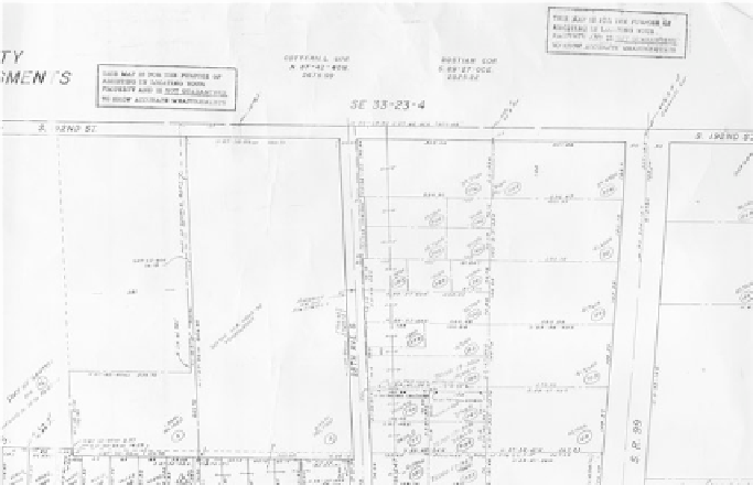
Portion of an assessor's map.


Search WWH ::

Custom Search