Geography Reference
In-Depth Information
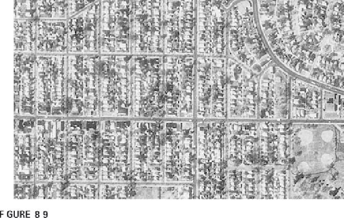
Aerial imagery (here from a digitized aerial photograph) can show a great amount
of detail.
cation of fertilizers and pesticides. Agricultural factors including plant
health, plant cover, and soil moisture can be monitored with remote sensing
data (see Plate 5). By combining the remote sensing images and data from
different sources, deficiencies of one remote sensing system can be made up.
For instance, Landsat provides multispectral data on average only once
every 16 days for any place in the continental United States and is impaired
by cloud coverage, even partially cloudy weather. By using radar data, scien-
tists have been able to help farmers keep track of changing soil and plant
conditions more frequently, which is especially critical during particular
phases of plant growth (e.g., pollination).
Summary
Remote sensing is the collection of data without directly measuring the
object. It relies on the ref lectance of natural or emitted electromagnetic
radiation (EMR). It has become an important and, in some applications, key
means of data collection. The many types of remote sensors can be basically
distinguished into two groups. Passive sensors rely on natural EMR; active
sensors require an additional source of EMR. Remote sensing involves the
complicated calibration of spectral signatures indicative of things or events
with various characteristics and capabilities of sensors. Most sensors distin-
guish the EMR they detect as bands, which refers to specific ranges of EMR a
sensor detects. Sensors also distinguish between spatial, temporal, and spec-
tral resolutions. The many applications using remote sensing keep growing.

Search WWH ::

Custom Search