Geography Reference
In-Depth Information
Surveyors at work with a plane table.
From
http://erg.usgs.gov/isb/pubs/booklets/topo/topo.html
measurements which are verified against each other using trigonometric
equations. At the same time changes in elevation are recorded.
A survey of positions collected in this manner may be accurate by itself,
but it could not easily be combined with other surveys and other GI to make
maps. Lacking a clear relationship of at least one point (four are for statisti-
cal reasons the practical minimum to consider) to a vertical and horizontal
datum, it would be very hard to connect the surveyed positions to any coor-
dinate systems.
More advanced survey techniques rely on defined procedures and rules.
These techniques are a basic part of a trained surveyor's skills because of
much greater error control and accuracy measurements than possible with
basic field survey techniques.
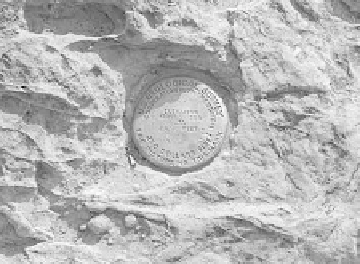
Geodetic markers are part of national
triangulation networks and are connected to geodetic
datums.


Search WWH ::

Custom Search