Geography Reference
In-Depth Information
a grid-like system (a similar system, the Dominion Land Survey, is used in
large parts of Canada). It has become very inf luential on the landscape of
the United States and has had many impacts related to governance and
administration, which are examined in Chapter 12.
The PLS was created through the Land Ordinance of 1785 and the
Northwest Ordinance of 1787, following the initiative of Thomas Jefferson
and the support of other surveyors. The rationale was the sweeping need to
equitably provide access to land in the United States and help the govern-
ment pay debts through the sale of land. After the Revolutionary War the
U.S. government took on responsibility for all areas west of the original 13
states. The survey systems used prior to this time revealed themselves to have
many problems that still persist. For example, the amount of land grants
claimed in Georgia in 1796 was more than three times greater than the
actual amount of land in the state.
All these western lands were considered to be the “public domain,” ex-
cept beds of navigable bodies of water, national installations such as military
reservations and national parks, and areas such as land grants that had
already passed to private ownership prior to subdivision by the government.
This included land awarded to private individuals by the governments of
France, Mexico, and Spain. Part of the original intention was the efficient
allocation of land to soldiers who had fought for the United States, but the
PLS was also seen to be a way to help pay off debts from the war and to
cover future expenses. The original public domain included the land ceded
to the federal government by the thirteen original states, supplemented with
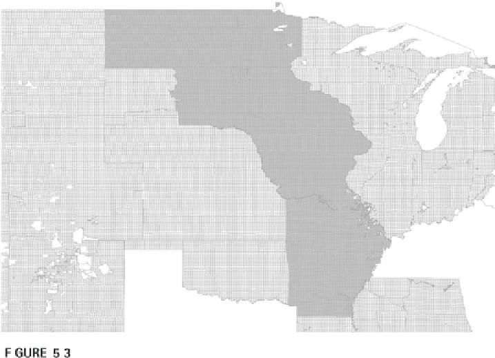
Area of the U.S. PLS surveyed from the Fifth Meridian.

Search WWH ::

Custom Search