Geography Reference
In-Depth Information
and linking the other scene/s. Regarding the ASTER-data, the majority of images
were not geometrically corrected, particularly between close paths. Therefore, a
geometric correction was needed, in addition to a spatial registration with ETM+-
data which was considered to be the geographical reference. Here, the problem
was that ASTER-data had a geographical reference different from the geographical
projection system of the ETM+-data, and with a 16 9 16 m pixel dimensions. For
the purposes of this study, they were re-projected from: Geographic Lat/Lon,
Datum: WGS-84, 16 9 16 m Pixel Dimensions to UTM, Datum: WGS-84, Zone:
37
North,
Units:
Meters,
15 9 15 m
pixel
dimensions
using
Rigorous
Transformation.
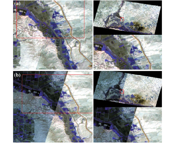
Although the program ENVI can automatically correct the ASTER-data geo-
metrically, these data were geo-referenced using the ''Image to Image'' concept,
and then analyzed on the basis of LANDSAT-data, prior to fusing the two sensors-
data. Figure
5.3
illustrates the results of the geometric correction for two ASTER-
images.
The registration of the multispectral images was carried out using ENVI 4.6
software. The three general steps were: (1) locate GCPs in the two image to be
corrected using the GCP-editor. The GCPs were interactively selected manually;
Fig. 5.3 The geometric correction (including the radiometric corrections) results of two ASTER-
scenes a Before corrections b After corrections
Search WWH ::

Custom Search