Geography Reference
In-Depth Information
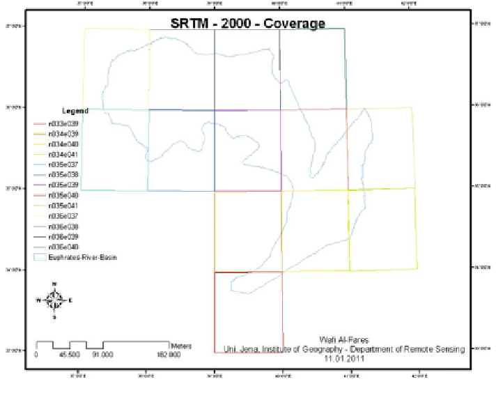
Fig. 4.5
The used imagery spatial coverage of the sensor SRTM
from the payload bay as soon as the Shuttle was in space'' (Farr et al.
2007
). ''The
elevation models were set into tiles, each covering one degree of latitude and one
degree of longitude, named according to their south western corners. It follows that
''n45e006'' stretches from 45 N6 Eto46 N7 E and ''s45w006'' from 45 S6
Wto44 S5 W. The resolution of the cells of the source data is one arc second.
The one arc second 30 m data have only been released over United States territory;
for the rest of the world, only three arc second 90 m data are available'' (Farr et al.
2007
). The second realized DEM-product was presented from ASTER-sensor in
2009. Thus, it can charge the digital topographic database with new and different
source. It named as Global Digital Elevation Model (GDEM) (Fig.
4.5
).
4.2 Reference- and Complementary-Data
Reference and complementary data can be obtained from information sources
other than the imagery data itself, such as field observations and measurements,
aerial photograph interpretation, thematic maps and other archival materials. The
expression ''ground truth'' can be substituted by the more appropriate expression
''reference information'', which is seen to be ''more inclusive than ''ground'' and
Search WWH ::

Custom Search