Geography Reference
In-Depth Information
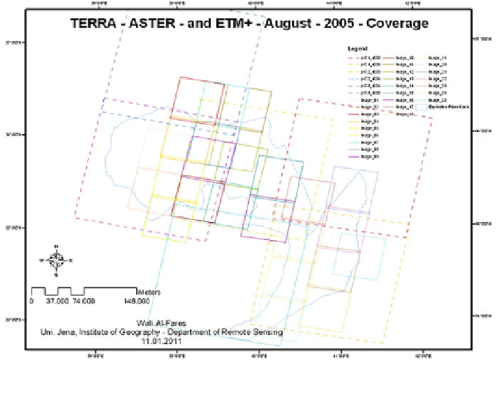
Fig. 4.4 The used imagery spatial coverage of the sensors ASTER (May and August, 2005), and
ETM+/SLC-Off/corrected (May and August, 2005)
4.1.3 SRTM
The Shuttle Radar Topography Mission (SRTM) was started in February 2000.
This mission took eleven days and named as STS-99-mission. The mission was
ended successfully after an international cooperation. The goal of this mission was
to offer a new source for deriving of topographical data digitally, especially the
height element/z, where the traditional methods were based on digitizing the
contours lines from the topographic maps. After achieving the goal of the mission,
we had become the Digital Elevation Models (DEM). This product was until 2009
the most complete archive of digital topographical data, which covers a near-
global scale from 56 Sto60 N with a high spatial resolution. To realize the
above mentioned goal, the mission included a specially modified RADAR-system,
which was based basically on the model used in the 1994 Shuttle, the older Space-
borne Imaging Radar (C and X) bands Synthetic Aperture Radar (SIR-C/X-SAR).
The system was carried on board of the Endeavour Space Shuttle. The technique
used to generate topographic data digitally from the space with representation of
the elevation element (z), is the Interferometric Synthetic Aperture Radar (ISAR).
The SRTM mission was supplied with two radar antennas. ''One antenna was
placed in the Shuttle's payload bay, the other, a critical change from the SIR-C/X-
SAR allowing single-pass interferometry, on the end of a 60 m mast that extended
Search WWH ::

Custom Search