Geography Reference
In-Depth Information
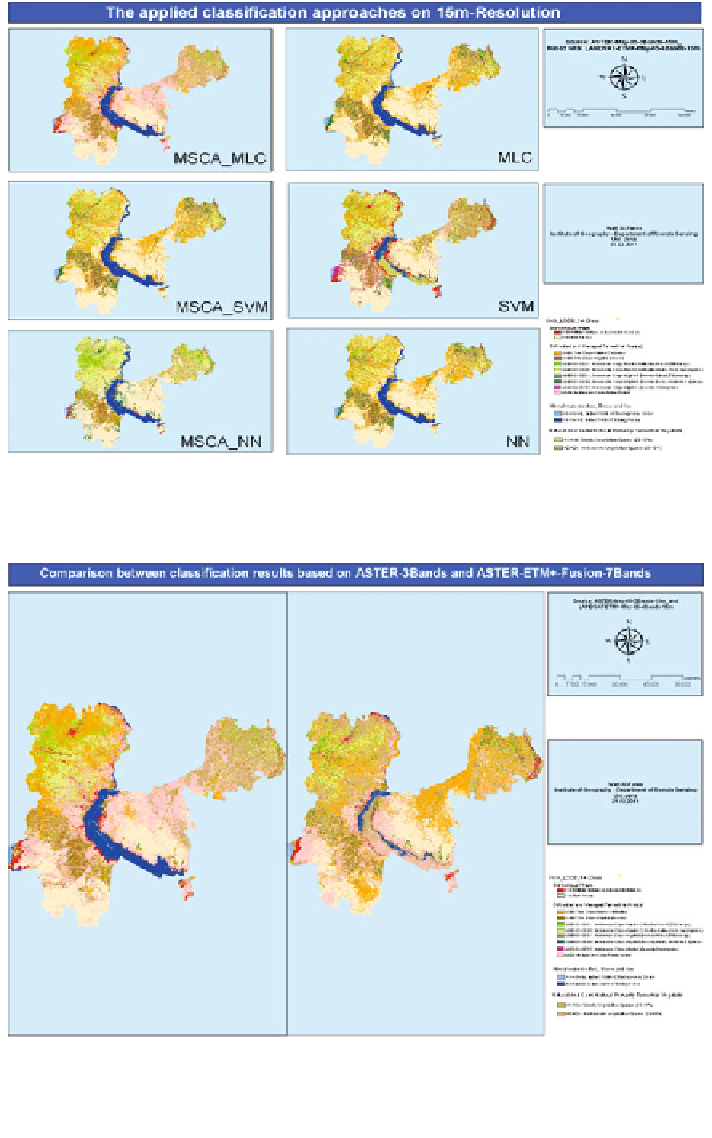
Fig. 5.43 The produced thematic maps from ASTER-data and LANDSAT-ETM+-data using
various supervised classification approaches and algorithms for the testing area
Fig. 5.44 The produced thematic map from ASTER-data with only the first three spectral bands
(right), and the resulted map after fusing the previous three bands with the 4, 5, and 7 spectral
bands of LANDSAT-ETM+-data (left) using various supervised classification approaches (here,
one stage classification approach) and algorithms (here, MLC) for the testing area
Search WWH ::

Custom Search