Geology Reference
In-Depth Information
Range Evolution Through Growth and Decay
1.2
tectonic flux (
Φ
T
)
11
sediment
yield (
1.0
0.8
0.6
0.4
0.2
0.0
Φ
s
)
22
28
0
10
20
30
40
50
Time (Myr)
maximum macro- and
meso-scale relief
33
44 Myr
A
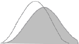
topographic development
waxing
2
2
1
0 Myr
2
3
44
A'
waning
A
A'
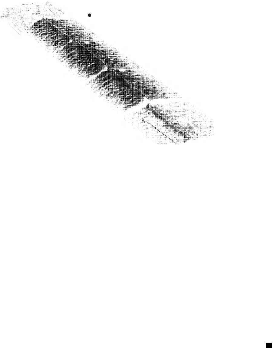
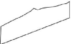
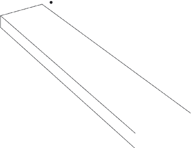
Fig. 11.18
Landscape model incorporating a triangular uplift pattern and a self-forming channel pattern,
showing several snapshots of the landscape as it grows and then decays in relief.
Triangular uplift occurs with the same across-strike pattern, but at different rates in each of the five ages (11, 22, 28,
33, and 44 Myr). The total sediment flux leaving the model landscape lags the rate at which mass is being added by
tectonic forcing, as shown in the inset (top right). A topographic profile (A-A
′
) across the flank of the range depicts
the waxing and waning of relief (bottom left). Modified after Kooi and Beaumont (1996).
the early square mesh has been replaced with a
Voronoi mesh (an irregular triangular mesh),
which allows more realistic treatment of river
geometries. In Fig. 11.20, we reproduce an
example of the oceanic edge of a landscape
model that is meant to illustrate the differences
between subsiding and uplifting blocks. Modern
landscape evolution models are increasingly
capable of capturing the essence of many
landscape elements, including those that cross
the boundary into the oceanic realm.
In a final example illustrating use of the CHILD
model, we examine a numerical prediction of the
landscape in the frontal zone of Himalayan defor-
mation in western Nepal (Fig. 11.21 and Plate 9).
Here the slip rates on the underlying Main Frontal
Thrust fault are estimated to be
(Fig. 8.21). The Siwalik Hills form above the
southward (leftward) verging Main Frontal Thrust
at the southern margin of the Himalaya, seen in
the background. The Karnali River flows along
the base of the range's backlimb. The mountain-
range model has been run long enough to attain
a steady state in which the form of the topogra-
phy is no longer changing. The asymmetry of the
real topography, and the crenulation of the range
crest are well captured in this model.
Atmospheric interactions
Whereas we all know that the atmosphere
delivers most of the “events” that govern the pat-
terns and the rates of geomorphic processes and
that these patterns reflect the tangling of the
∼
20 mm/yr