Geology Reference
In-Depth Information
925
south
north
T1
875
15°
5°
825
1°
T2
0°
T1'
10x VE
775
725
T3
T2'
Frontal
Scarp
survey points
675
0
2
4
6
A
Projected Distance (km)
untilted
tilted
tilt
angle
0
.2°
150
125
100
75
50
25
0
T1
15°
for Modern Stream
5°
1°
0°
10x VE
T1'
T2
Frontal
Scarp
0.2°
T3
1
2
3
Projected Distance (km)
B
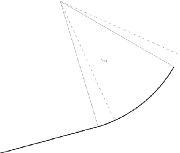
Listric Fault
Model
Fig. 9.15
Tilted backlimb terraces
and listric thrust faulting.
A. Surveyed terrace and river profiles
deformed above the Irishman Creek
Fault, Mackenzie Basin, New Zealand.
Terraces T1 to T3 span ages ranging
from about 140 to 20 ka. B. Heights
of terrace treads with respect to the
modern river gradient. Note the
progressively greater magnitude of
tilting for older (higher) terraces, but
the consistent position of the hinge
representing the transition to the
untilted domain (
∼
1.2 km). C. Model
for a listric fault linking to a planar
ramp. When applied to the Irishman
Creek data in panels A and B, the
model predicts 190 m of slip on the
T1 terrace, the listric-to-planar fault
transition at 1.4 km depth, and a planar
ramp dip of 17
°
. Modified after Amos
et al.
(2007).
C
Other changes observed at the PT2 include the
abrupt northern end of Lesser Himalaya river
terraces, commonly observed knickpoints in
river profiles, and greatly increased channel
steepness to the immediate north (Fig. 9.14A).
The totality of these topographic changes points
to a higher rock uplift rate to the north of the
PT2, but left open the question of whether this