Environmental Engineering Reference
In-Depth Information
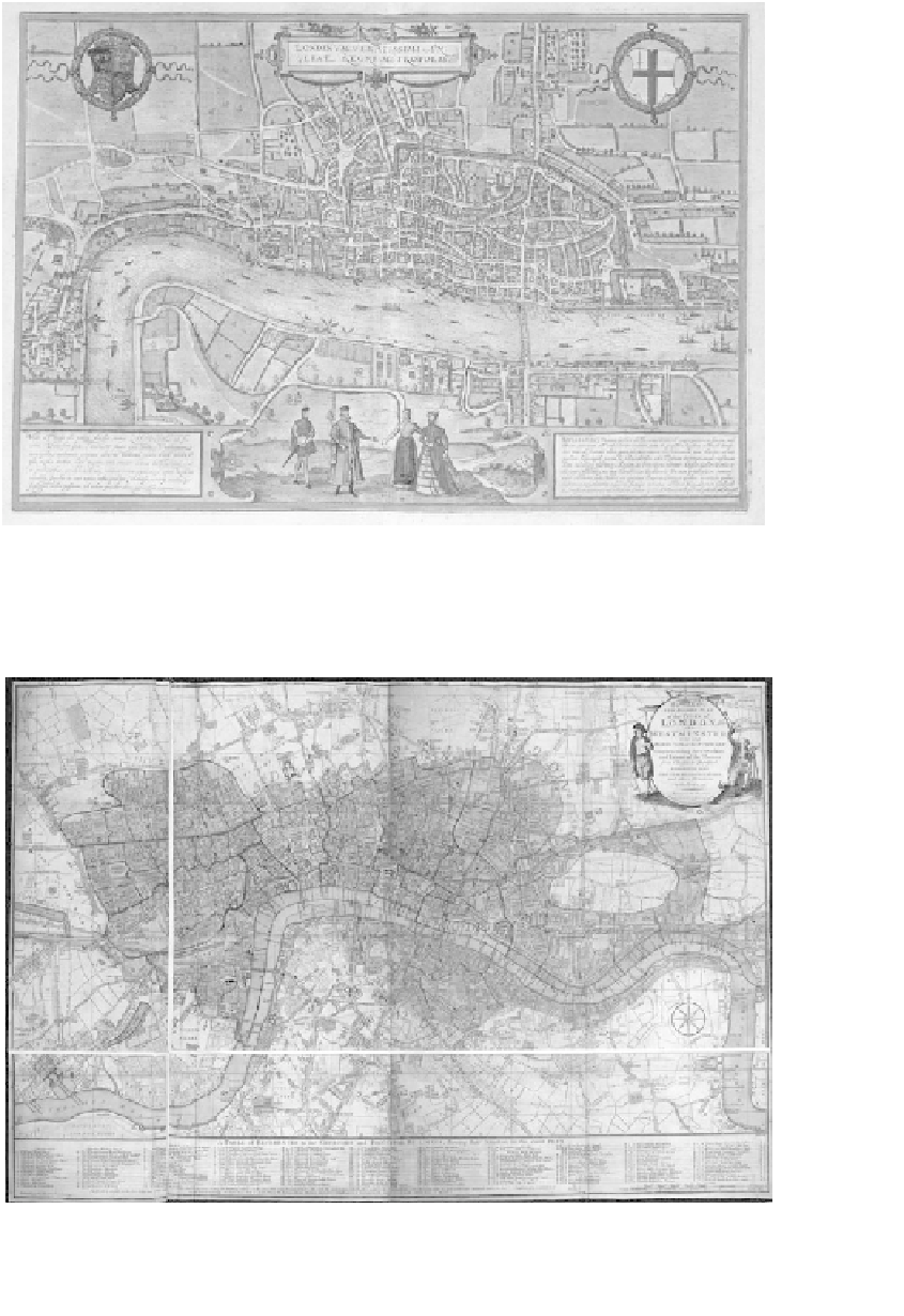
Figure 3.3
Sixteenth-century map of London,
Civitates Orbis Terrarum
, by George Braun (1541-1622) and
Franz Hogenberg (1540-1590), engraving. London has been mapped extensively, highlighting its
growth over recent times.
Source
: The British Library.
Figure 3.4
Carington Bowles's reduced new pocket plan of the cities of London and Westminster, with the
borough of Southwark exhibiting the new buildings to the year 1780
Source
: The British Library.