Travel Reference
In-Depth Information
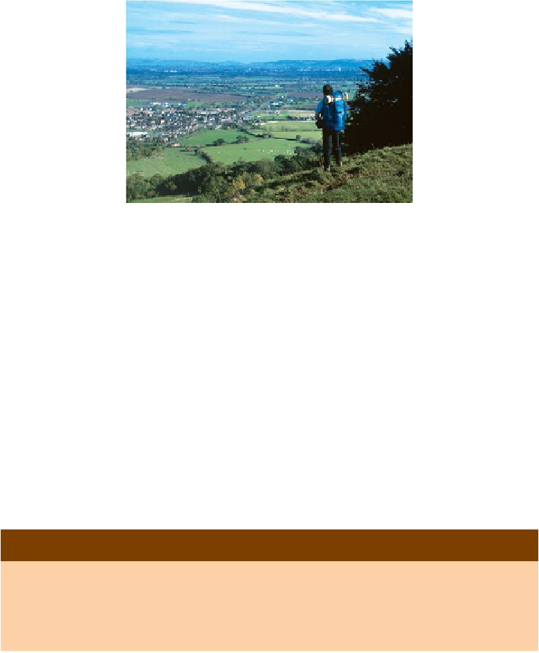
The top of the cheeserolling slope on Cooper's Hill is a splendid viewpoint
Cross the A46 half-left ahead to find a continuing footpath with CW way-
marks directing you once more into woodland. For about 100 metres you
wander beside a drystone wall that forms a boundary to Prinknash Park,
then leave it to bear left up a slope along a minor path. Within a few paces
cross another unclassified road and walk straight on along the track which
runs parallel with the A46 heading south-west.
This woodland (Pope's Wood) is part of Buckholt Wood Nature Reserve
and it has a fine selection of deciduous trees and ground-covering plants.
The track leads through it to a narrow metalled lane which in turn brings
you out of the woods at last, and onto a golf course.
Waymarks initially lead to a clear track which maintains a fairly straight
course between the fairways, keeping left of the undulations of
Painswick
Beacon
(grid ref: 867121). It's worth making a slight diversion onto the
summit of this hill, at 928 ft (283m), for extensive views across the Severn
Vale.
PAINSWICK BEACON
Painswick Beacon has many other names: Painswick Hill (OS map), the Castles, Castle
Godwyn and Kimsbury Hill. Overlooking Gloucester and the Severn Vale it was settled
as a hill fort by late Iron Age tribes, used in 1052 as a temporary camp by Earl God-
wyn (a Saxon leader in conflict with the Earl of Mercia), and again in 1643 by Royalist
forces following the lifting of the Siege of Gloucester. The 250 acres (101 hectares)