Information Technology Reference
In-Depth Information
Issues in Using PDF for Mapping
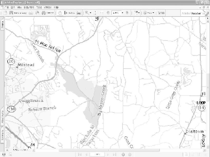
Publishing a map in PDF can be as simple as selecting the Adobe PDF printer from your Windows print
menu if you have Adobe Acrobat installed. However, the resulting PDF may not look very good under
close examination. Lines may be very jagged when magnified, the overall size may be that of a letter-sized
page, and the colors may not look the way they were intended (Figure 14.1).
There are circumstances when the map's quality may be fine when zoomed out, and be all that is needed
to communicate your intent.
Figure 14.1
Not all PDF maps are created equal
Producing a PDF map that is of the same quality as an equivalent paper print may not be so easy, and
taking full advantage of electronic publishing may be even more difficult. The major issues to consider are:
x
the source data used to generate the maps
x
managing file size
x
handling color and printing issues
x
working with metadata
x
using Acrobat security options
x
applying Acrobat navigation features.
Search WWH ::

Custom Search