Geography Reference
In-Depth Information
Figure 1 shows the kernel density of trees weighted by DBH in Lincoln
Park. In the map, the darker the shade, the greater the concentration of healthy
trees. The map indicates that trees are less healthy in non-residential areas
around major roads with much vehicular traffic (the southern part of the map)
than in highly residential areas (the northwestern part of the map). This project
demonstrates how vehicle emissions affect tree health.
GIS students in collaboration with
Little Village Environmental Justice
Organization
(LVEJO) examined whether communities with a large Latino
population were more likely to have a power plant and what related health
effects might be (Becerra et al., 2009). Figure 2 shows that coal power plants
are located in predominantly Latino communities in Chicago.
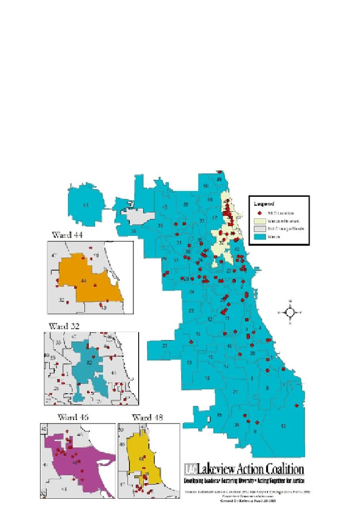
Figure 3. Single room occupancy housing in Chicago (2012).