Geography Reference
In-Depth Information
important (National Remote Sensing Agency 2008). In this study, groundwater
productivity in boreholes combined with NDVI are used as a validation
method of the results given by the GIS tool.
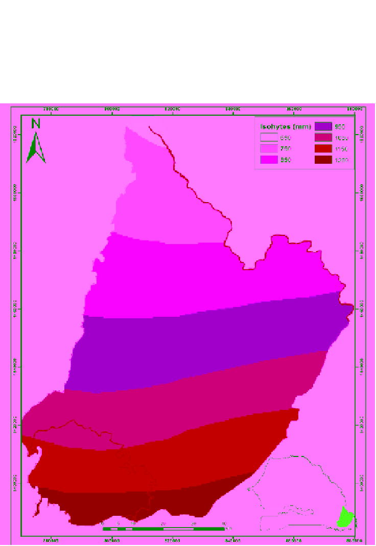
II.1. Rainfall
Figure 2. Isohyets distribution in the study area (MEPNBRLA, 2009).