Geography Reference
In-Depth Information
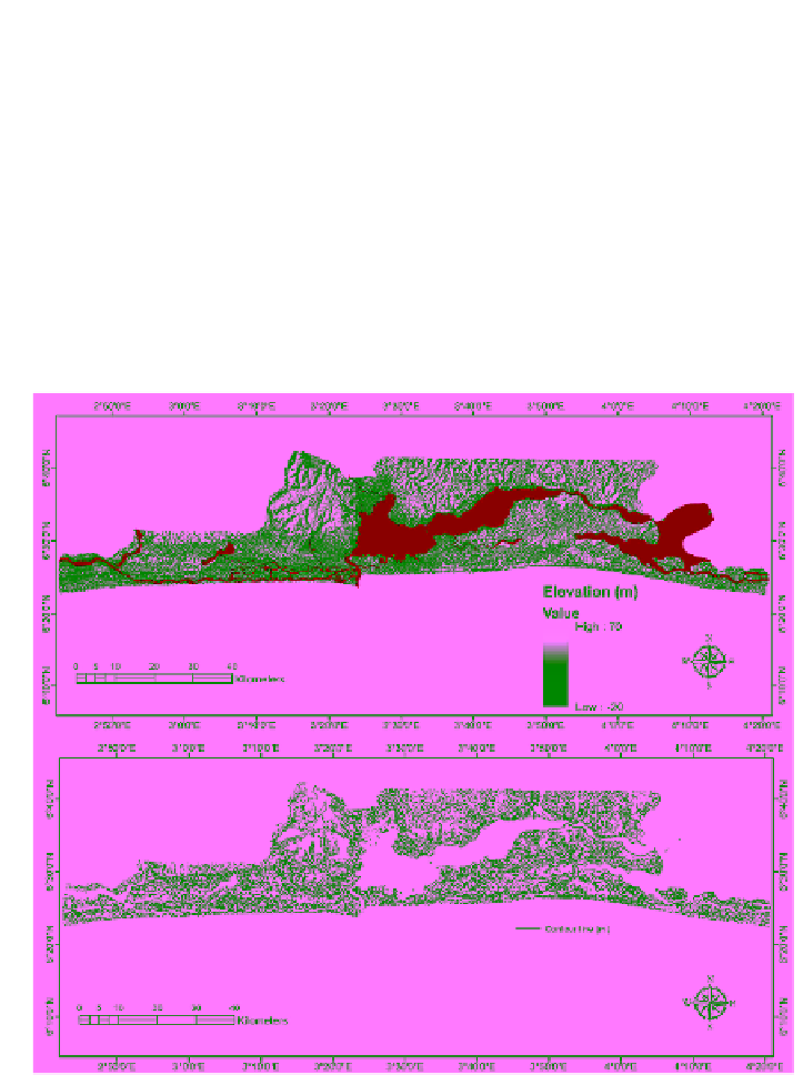
In the process, the DEM was transformed from the original geographic
coordinate system to projected coordinate system (applying the World Geode-
tic System (WGS) 1984 web Mercator). Hence, to ensure that the hydrological
component of the DEM is correct and updated, the elevation data was leveled
and reconditioned using the vecto-rized hydrological features (consisting of
Lagoons and major rivers) extracted from the Landsat 8 imagery of 2013.
The hydrologically updated SRTM data was used to generate a classified
digital terrain model (CDTM) through vectorization procedure. The
fundamental reason for creating the vector-based CDTM is to aid the various
forms of overlay operation (such as spatial intersect, union, erase, spatial join
and identity) and calculate the spatial extent or area coverage.
a
b