Geoscience Reference
In-Depth Information
Fig. 16.3
Google Earth digitizing and editing tools
Fig. 16.4
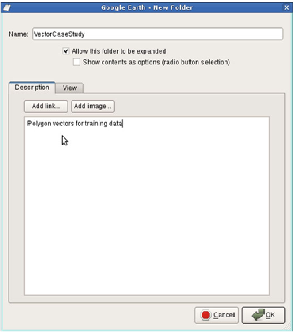
The menu to create a new folder in Google Earth
For convenience, we will create a folder within the Places dialog window of
the Google Earth interface to store all features associated with this case study
(Fig.
16.4
). Once the folder is created, you can right-click on the title and click
Add--> Polygon
or you can simply click on the 'Create Polygon tool' (Fig.
16.5
),
which opens a dialog window that allows the name of the dataset to be entered as
well as additional descriptive information pertaining to the dataset, including, the
style and color of the feature as well as view and altitude of the features.
We leave the dialog window open and we can trace an area by clicking the vertices
of the polygon and tracing the extent of the area that we want. The dataset name and
description are the two fields that should be entered and they should both reflect the
content of the data. We recommend that the name should relate to the landuse feature


Search WWH ::

Custom Search