Geoscience Reference
In-Depth Information
(a)
(b)
DSM (m)
20
30
40
50
60
70
DTM (m)
20
30
40
50
60
0
250
500 m
0
250
500 m
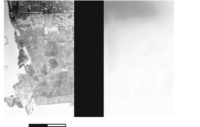
Fig. 15.3
LiDAR derived raster products for a forested area using
pklas2img
.
a
Digital surface
model.
b
Digital terrain model
Creating a digital terrain model can be more challenging than a digital surface
model. Above ground objects such as vegetation and artificial objects (e.g. buildings)
must removed and interpolated. A simple approach for our forested area is to focus
on last return pulses only and use a minimum composite rule.
pklas2img -i forest_31370.laz -comp min -fir last -n z -dx 1 -dy
→
1-ulx 56256 -uly 196912 -lrx 57229 -lry 195293 -a_srs
→
epsg:31370 -ot Float32 -o forest_dem.tif
The assumption is that last return pulses have been able to penetrate the forest
canopy to the ground. However, in areas where vegetation is dense, not all pulses
are able to penetrate to the ground. As a result, the result still contains objects
that correspond to above ground pulse returns. A number of filtering techniques
have been proposed in the literature, including the elevation threshold with expand
window [ETEW (Zhang and Whitman 2005)] and the progressive morphological
filter (Zhang et al. 2003). They are based on a morphological (erosion) filter that
is applied iteratively. At each iteration, the kernel filter size is increased with the
potential to remove above ground objects such as vegetation and buildings. However,
height differences in the digital terrain model due to natural relief should remain.This


Search WWH ::

Custom Search