Geoscience Reference
In-Depth Information
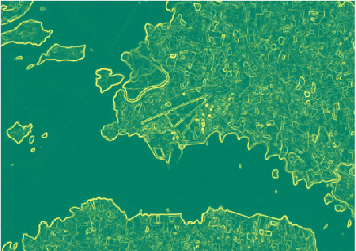
Fig. 13.10
Sobel filtered image color mapped using the summer LUT
13.5 Texture Features
When dealing with high and very high resolution satellite imagery, image texture
is often calculated to assist in image interpretation and automatic classification.
In a remote sensing context, image texture provides a measurement of the spatial
and spectral relationships of pixels located within a specified neighbourhood. For
instance, objects that have a smooth texture generally, like roads and tillage crops,
have little changes in the brightness values of the image. Objects that appear to
have a rough texture like the canopy of a mature deciduous woodland have frequent
changes in the brightness values due to shadows and the rough surface of the object.
Once calculated, the image textures can be included in the image classification as an
additional feature variables.
The Orfeo Toolbox provides the tool
otbcli_HaralickTextureExtr-
action
to calculate the range of texture features based on the Haralick Texture
Features (Haralick et al. 1973) and which are grouped into three main categories:
•
Simple
: Energy, Entropy, Correlation, Inverse DifferenceMoment, Inertia, Cluster
Shade Prominence and Haralick Correlation;
•
Advanced
: Mean, Variance, Sum Average, Sum Variance, Sum Entropy, Differ-
ence of Entropies, Difference of Variances, IC1, IC2;
Search WWH ::

Custom Search