Geoscience Reference
In-Depth Information
(a)
(b)
Height (m)
1000
1375
1750
2125
2500
0
500 1000 m
0
500 1000 m
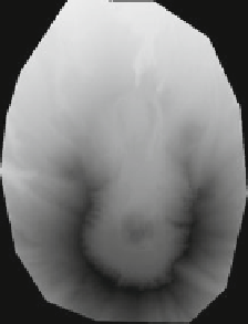
Fig. 10.5
Hillshade applied to Mount St. Helens using
gdaldem
.
a
Digital surface model.
b
Hillshade visualization mode
-alt altitude
altitude of the light, in degrees. 90 if the light comes from above the DEM, 0 if it
is raking light.
-combined combined shading
(from GDAL 1.10) a combination of slope and oblique shading.
An example of the hillshade visualization mode is shown in Fig.
10.5
. The altitude
of the light source is set to 50
ⓦ
.
gdaldem hillshade -alt 50 st-helens_dsm_10m.tif
ₒ
st-helens_hillshade.tif
10.6.2 Slope
Slope is an analysismode tomeasure the slope (steepness) of the terrain by comparing
the elevation of each pixel to its neighboring pixels (in a 3
3 window). The output
is in degrees or percentage (option
-p
) and stored as a Float32. You can scale the
vertical units (elevation). The no-data value is fixed to
×
−
9999.
-p
If specified, the slope will be expressed as percent slope. Otherwise, it is expressed
as degrees
-s scale
ratio of vertical units to horizontal. If the horizontal unit of the source DEM is


Search WWH ::

Custom Search