Geography Reference
In-Depth Information
11.18 RUNOFF PREDICTIONS IN
SUPPORT OF THE NATIONAL
WATER AUDIT, AUSTRALIA
n. r. viney
study is to compare different methods for producing runoff
estimates at a continental scale. The ultimate objective is to
enable the production of continental-scale maps showing
the spatial variability of runoff generation at a variety of
time steps as well as provide best estimates by region for
reporting in the National Water Account.
The issue from societal and hydrological perspectives
Part of the Australian Bureau of Meteorology
s mandate is
to produce annual water audits and water resources assess-
ments. These are to have a national scope and to use
consistent estimation methods. Since only a small propor-
tion of the continent is gauged for runoff, most of the
runoff estimation relies on modelling. The aim of this
'
Study area and data
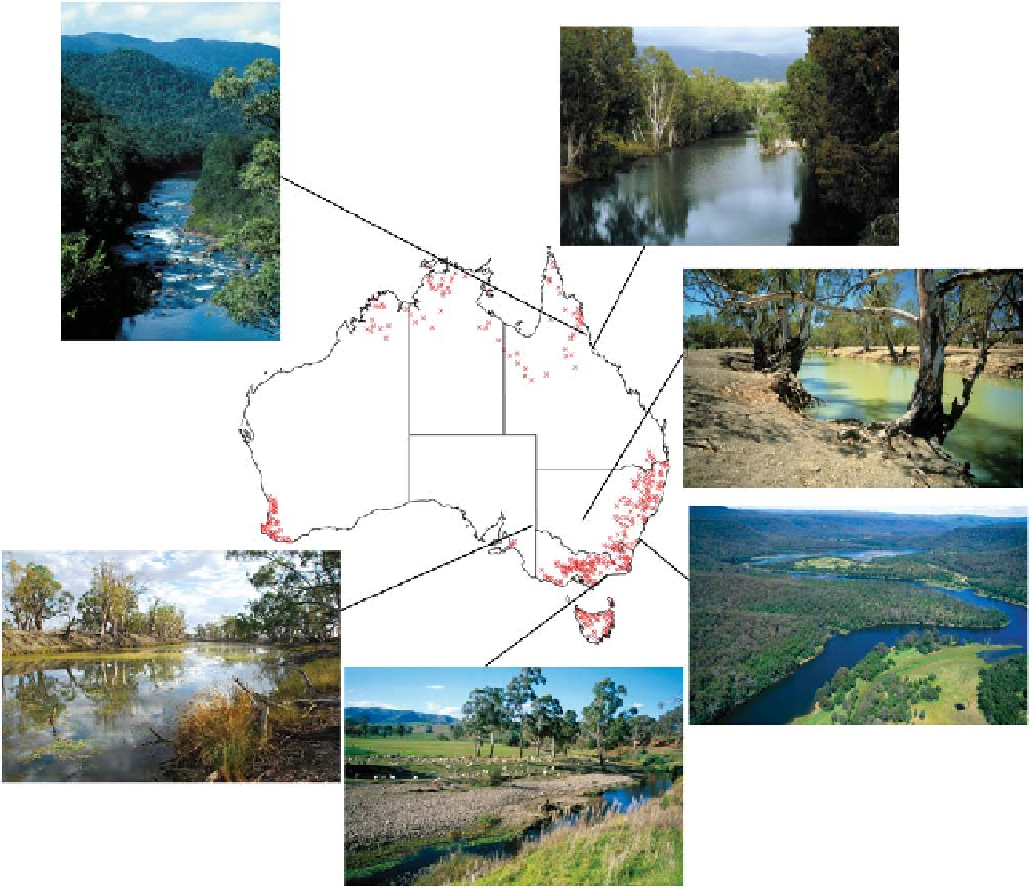
This study uses runoff data from 408 catchments across
Australia (
Figure 11.79
). All catchments have areas greater
than 50 km
2
and runoff that are not affected by flow regula-
tion, irrigation withdrawals or urbanisation. All have at least
10 years of observed runoff data during 1975
-
2008. Daily
Figure 11.79. Locations of the 408 gauged catchments used in this study. Photos give an impression of the diversity of the landscape. Copyright
CSIRO; photographers: Gregory Heath, Willem van Aken and Ian Overton.
Search WWH ::

Custom Search