Geology Reference
In-Depth Information
all uncertainties evaluated. This objective seems
desirable if model capabilities and weaknesses
are to be properly benchmarked, therefore guid-
ing us to improving models and taking improved
field measurements which ultimately allow uncer-
tainties in model predictions to be reduced.
and small catchments, but because of the number
of parameters required, it is not suitable for appli-
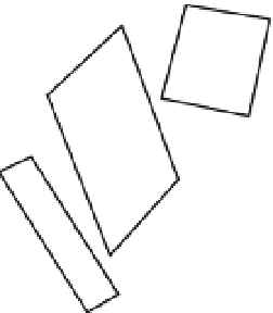
cation to larger catchments. Each catchment is
split into elements for which uniform properties
are assumed; these are then linked together to
form a network of planes and channels (Fig. 5.1).
Each element requires 37 parameters that describe
its soil, vegetation, micro-topography, size and
slope. Rainfall is entered as break-point data
(time-dependent) and different rain gauges can be
assigned to different elements within the catch-
ment, allowing the simulation of a storm passing
across the study area. EUROSEM is event-based
and uses short time steps (e.g. one minute) to
model the processes of soil erosion. Simulations
rely on the generation of sediment and runoff
5.2 Description of the European Soil
Erosion Model (EUROSEM) Structure
and Operation
EUROSEM is a process-based model. It uses
mathematical expressions to represent the proc-
esses of erosion that take place over a single
event. The model is applicable to plots, fields
(a)
(b)
6
8
3
7
C
4
9
1
2
D
5
B
11
10
12
A
(c)
6
7
8
3
9
C
4
11
D
B
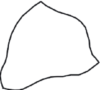
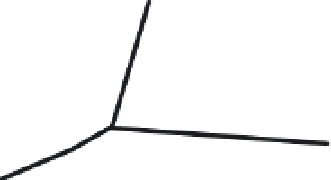
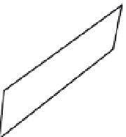
Fig. 5.1
Illustration of the
decomposition of a natural
catchment into a simulated
network of elements and
channels (from Morgan
et al
., 1998b).
1
2
A
10
5
12