Geology Reference
In-Depth Information
Kansas City
Jefferson City
385 km
Little O
sage
Lake of the
Ozarks
X
N
F
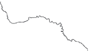
Fig. 9.2
Location of Osage
River Watershed and the small
agricultural watershed (X), west of
Nevada, MO (N), and east of Fort
Scott, KS (F).
Marmaton
Stockton
Lake
Kansas
Missouri
C8
C6
C4
H10
H8
H7
H3
H1
C5
C9
C7
H9
H5
H6
H4
H2
Fig. 9.3
Layout of small
watershed. Individual hillslopes
are numbered as H1, H2, … H10.
Individual channels are
numbered as C1, C2, … C9.
Dashed lines show overland flow
directions, and solid lines show
channel flow directions.
C2
C3
C1