Environmental Engineering Reference
In-Depth Information
(
a)
(
b)
(c
)
(
d)
(e
)
(f
)
30˚N
(
g)
(h)
28˚N
26˚N
24˚N
22˚N
20˚N
92˚W 90˚W 88˚W 86˚W 84˚W 82˚W 80˚W 78˚W
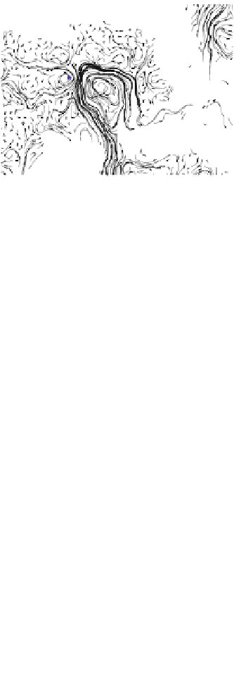
Fig. 1.4
Maps showing surface oil coverage (regions in
black
) for eight selected days in 2010 as
obtained from five-day (centered on the referenced day) product superimposed on the altimetry-
derived surface currents (
grey arrows
), showing selected sea height contours that are associated
with the main mesoscale cyclonic and anticyclonic features (
blue
and
red lines
, respectively). The
star
placed at 88.36
ⓦ
W, 28.73
ⓦ
N, shows the location of the Deepwater Horizon oil spill site.
a
APR
15.
b
MAY 01.
c
MAY 15.
d
JUN 01.
e
JUN 15.
f
JUL 01.
g
JUL 15.
h
AUG 01


Search WWH ::

Custom Search