Geography Reference
In-Depth Information
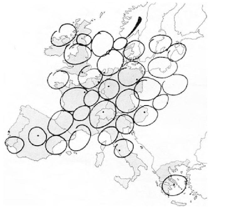
Figure 1.2
The 'European Bunch of Grapes'
Source: Kunzmann and Wegener (1991: 67)
1996a) for an 'unexplored' territory (i.e. an area outside the 'normal' sphere
of action of planners). Other authors have recognised that the use of images can
support institution-building (Neuman, 1996, 2000) and help to overcome language
barriers (Sinz, 1997; Kunzmann, 1996) when discussing policy options at supra-
national scale.
However, conceptualisation and visualisation can be very difficult in multi-
lateral strategic spatial planning processes, where different planning cultures
come together (Zonneveld, 2000). The discussion of policy maps for the first
ever spatial strategy for the EU territory, the 'European Spatial Development
Perspective' (ESDP) (CSD, 1999), for example, was accompanied by controver-
sial debates on the cartographic representation of future scenarios for the Euro-
pean territory. This potential for conflict might be rooted in different planning
cultures: there are significant differences in how planning is conducted in differ-
ent European member states, and these differences also extend to the form,