Geography Reference
In-Depth Information
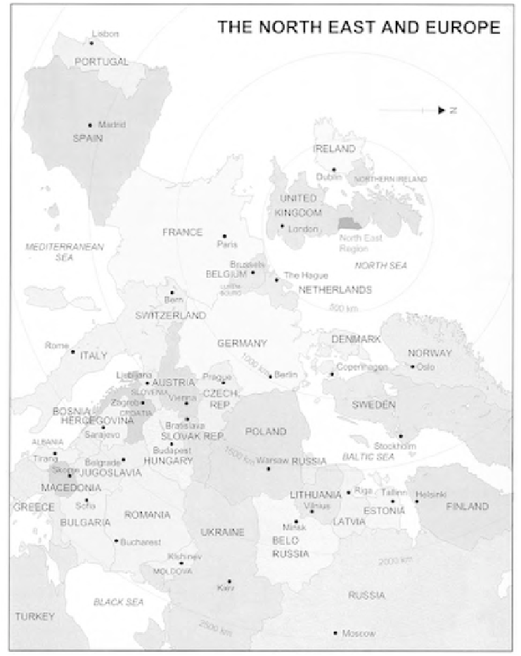
Figure 4.14
Regional Planning Guidance for the North East to 2016: the North East and Europe
Source: GONE (2002: 170), original A4
However, there is little acknowledgement of functional interdependences on
the actual 'plan maps'. In Dutch plans, the surrounding territories are generally
represented either through a topographic map base or by showing a continuation
of land uses - often by using arrow symbols. The
Nota Ruimte
is an exception to
the rule in representing the Dutch territory in the wider European context without